
Surveying configurations for deformation analysis based on non-linear models and correlated measured values (IMKAD)
In the past, deformation processes were mostly detected pointwise. This meant a loss of information since only points on an object surface which are clearly reproducible (eg. corners of buildings) or signalized points could be measured.
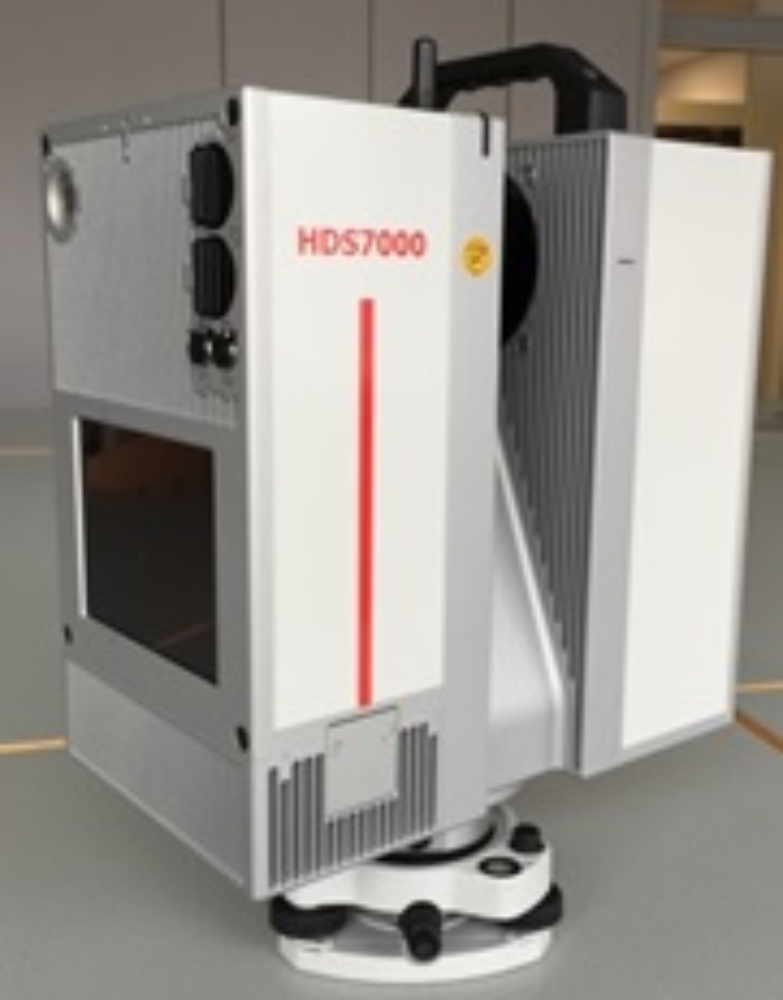
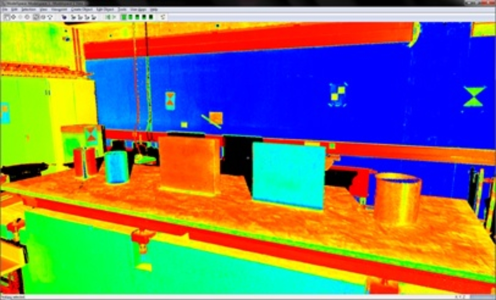
By means of terrestrial laser scanning buildings can nowadays be measured area-wise. The relations within the measured point cloud are non-linear and the measured values are highly correlated.
In order to find an optimal surveying configuration for terrestrial laser scanners (eg. number of scans and geometric orientation to a target) the variance-based sensitivity analysis will be extended with regard to the correlations mentioned above.
Aims:
As part of this project a new non-linear temporal method for modeling an object surface will be developed in order to detect deformations.
At the beginning, small free-form objects made of different materials (wood, metal, fibre-reinforced plastics, cast resin) will be used for analysis. Later on real monitoring objects (eg. bridge, dam) will be observed.
On doing so, the chosen surveying configuration (location and number of laser scanner positions) is very essential.
For this reason, it is necessary to investigate a method which provides the determination of an optimal surveying configuration by using highly correlated point clouds.
This non-linear sensitivity analysis, which examines the influence of input data on output data, directly provides conclusions on the appropriate instruments, their quality parameters and the surveying configuration.
The result of this project may provide a method to model and determine deformations on any point on an object surface.
Partners: Department of Geodesy and Geoinformation, TU Wien
Project related publications:
Kerekes G., Schwieger V. (2021): Determining Variance-Covariance Matrices for Terrestrial Laser Scans: A Case Study of the Arch Dam Kops. In: Kopáčik A., Kyrinovič P., Erdélyi J., Paar R., Marendić A. (eds) Contributions to International Conferences on Engineering Surveying. Springer Proceedings in Earth and Environmental Sciences. Springer, Cham. https://doi.org/10.1007/978-3-030-51953-7_5
Raschhofer, J.; Kerekes, G.; Harmening, C.; Neuner, H.; Schwieger, V. (2021): Estimating Control Points for B-Spline Surfaces Using Fully Populated Synthetic Variance–Covariance Matrices for TLS Point Clouds. Remote Sensing. 2021; 13(16):3124. https://doi.org/10.3390/rs13163124
Kerekes, G.; Schwieger, V. (2020): Elementary Error Model Applied to Terrestrial Laser Scanning Measurements: Study Case Arch Dam Kops. Mathematics 2020, Vol. 8(4), 593.
Aichinger, J.; Schwieger, V.: Influence of scanning parameters on the estimation accuracy of control points of B-spline surfaces, Journal of Applied Geodesy, 12 (2), pp. 157-167, deGruyter, Berlin, 2018.
Kauker, S.; Schwieger, V.: A synthetic covariance matrix for monitoring by terrestrial laser scanning. Journal of Applied Geodesy, Vol. 11, Issue 2, pp. 77-88, deGruyter, Berlin, 2017.
Kauker, S.; Harmening, C.; Neuner, H.; Schwieger, V.: Modellierung und Auswirkung von Korrelationen bei der Schätzung von Deformationsparametern beim terrestrischen Laserscanning. In: Lienhart, W. (Hrsg.): Beiträge zum 18. Internationalen Ingenieurvermessungskurs in Graz 2017, pp. 321-336, Wichmann, Berlin.
Harmening, C.; Kauker, S.; Neuner, H.; Schwieger, V.: Terrestrial Laserscanning - Modeling of Correlations and Surface Deformations. FIG Working Week 2016, Christchurch, New Zealand, 2016. (peer-reviewed).
Kauker, S.; Holst, Ch.; Schwieger, V.; Kuhlmann, H.; Schön, S.: Spatio-Temporal Correlations of Terrestrial Laser Scanning. Allgem. Verm. Nachr, 6/2016, S. 170-182, Wichmann Verlag, Berlin.
Kauker, S.; Schwieger, V.: First investigations for a synthetic covariance matrix for monitoring by terrestrial laser scanning. In: 3rd Joint International Symposium on Deformation Monitoring (JISDM), 30.03-01.04, 2016, Vienna, Austria.
Kauker,S.; Schwieger, V.: Approach for a Synthetic Covariance Matrix for Terrestrial Laser Scanner. Proceedings on 2nd International workshop on “Integration of Point- and Area-wise Geodetic Monitoring for Structures and Natural Objects”, March 23-24, 2015, Stuttgart, Germany.
Contact

Volker Schwieger
Prof. Dr.-Ing. habil. Dr. h.c.Director of the Institute