Aim:
A project among the forest administration of Baden-Württemberg and the institute has been accomplished to investigate the adoption of low-cost GPS-receivers in forest districts. The investigations mainly aimed for the attainable accuracy, the availability and the reliability for survey of point shaped objects. The influence of shadowing effects in different kinds of forests was of special interest.
Procedure:
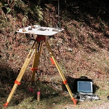
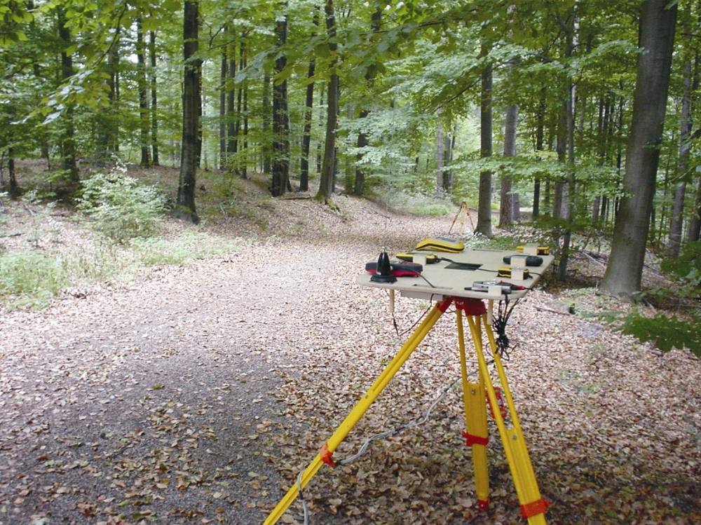
Five different low-cost GPS-receivers were procured and they were analysed in two differently characterised woodlands. In addition to the geodetic criteria for evaluation of the receivers, aspects like acceptance, operability and support were investigated.
Results:
Since the requirements for the accuracy of the survey of objects in the forest (stack of wood, for example) are approx. 15 m and the availability and the reliability were approx. 100 % even in dense leafage, there is a high potential for use of low-cost GPS-receiver in principle.
Differences in accuracy, availability, reliability and in aspects according to operability between the single GPS-receivers were established.
The Garmin eTrex was the best receiver in the tests and was suggested for the use in the forest. The achieved mean standard deviation of all measurements of single points about 10 minutes was 6.7 m, the reliability was 97.9 % and the availability of 10 minutes of point measurements was 98.7 %, accepting at most 30 seconds data gaps.
In the meantime every forest district is equipped with a Garmin eTrex and haulage companies increasingly demand for coordinate information for removal.
Contact:

Volker Schwieger
Prof. Dr.-Ing. habil. Dr. h.c.Director of the Institute