Reference projects on Location and position determination
- ConMoRAIL
Detection and Localization of Faults on the Railway Track - Brain TLS
Perceived Space Representation using Brain Activity Analysis, Eye-Tracking and Terrestrial Laser Scanning - TransSec
Autonomous emergency manoeuvering and movement monitoring for road transport security - Ghosthunter
Telematics system against "Geisterfahrer" using GNSS and digital maps - HydrOs
Optimization of GNSS positioning in shadow areas on federal waterways - Do-iT
Data optimisation for integrated telematics - GPSfor forest applications
Adoption of low-cost GPS-receivers for applications in forests - LowCost GNSS
Precise positioning with low-cost GPS - Modular Positioning System - MOPSY
Development of a modular positioning system for motor vehicles and track vehicles using Kalman filter approaches - Positioning by mobile phones
Single positions or sequences of positions of mobile phones - GPS-Measurements for TanDEM-X evaluation
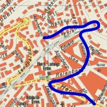
- Map Supported Positioning
Worldwide PPP-evaluation of kinematic GPS tracks for evaluation of TanDEM-X
Contact:

Volker Schwieger
Prof. Dr.-Ing. habil. Dr. h.c.Director of the Institute